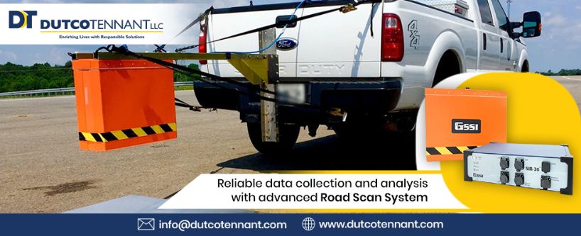
Why is the Road Scan System Important to Install?
A road scan system is one of the technologies that help the authorities to make valuable decisions for road infrastructure and other management initiatives. While there are quite a few technologies noted for this system, the advanced ROAD DOCTOR® SURVEY VAN (RDSV) is the most talked about system.
But what exactly does ROAD DOCTOR® SURVEY VAN (RDSV) do and how can it help in the road scanning system? Keep reading till the end to learn all about this smart technology.
What is exactly ROAD DOCTOR® SURVEY VAN (RDSV)?
The ROAD DOCTOR® SURVEY VAN (RDSV) is a modern, non-destructive and integrated innovation that incorporates road survey technologies. By integrating advanced hardware components, this road scanning system can offer consistent and absolute roadway information.
It can collect data seamlessly and with its ultra-modern software system, the data can be processed, synchronized and visualized for achieving value-added outcomes. The hardware components consist of GPS (Global Position System) referencing systems, GPR (Ground Penetrating Radar), Distance Measuring Instrument, Laser Scanner and Video Cameras and also Thermal Imaging Camera.
The RDSV enables exceptional tools for data processing and tabulation of the data collected. But that’s not all, it also does the same for imported data gathered from any third-party systems, for example, Traffic Speed Deflectometer (TSD), Pavement Management System, 3D-GPR Radar. Therefore, offering a full road structure and condition information.
Additionally, the software present in this system connects with temporal and spatial reference points and synchronizes easily to offer data visualization in easy to interpret formats.
Vital information the RDSV offers
Some of the essential road information that this advanced RDSV can provide are:
· Layer thickness
· Roughness measurements
· Transversal and longitudinal rutting profiles
· Transversal and longitudinal point-cloud
· Moisture tracking with the application of GPR Frequency response
· Pavement settlement
· Pavement cross fall
· Imaging of pavement surface and video logging data
· Shoulder and ditch failures
· Layer moduli and strength
Benefits of using RDSV
This next generation road scan system comes in a van that makes all the components compact and easy to transport. Most importantly, with its application you can save as much as 40% on traffic infrastructure management.
It also enables to increase the lifetime of roads with its best in quality non-destructive multi-faceted single pass data collection. Experts can also get a better understanding of road structure as the advanced RDSV technology combines both surface and subsurface information seamlessly.
The latest software integration within its system provides reliable data analysis and storage which results in saving each GPS survey.
This advanced road survey technology helps in achieving stellar road and traffic management. The potential road hazards can also be eliminated with the use of RDSV.
